
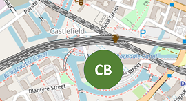
Castlefiled Canal Basin
Grid reference: SJ 833 975
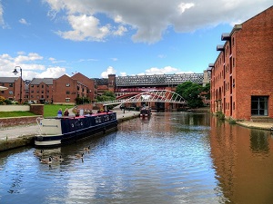
In 1765 the terminus of the Bridgewater Canal was opened below the present Castle Street and this became the transport hub of Manchester. The area also includes Potato Wharf and several canal arms. Early remains include the overflow weir in Giant’s Basin (SJ 830 977) which takes surplus water from canal and discharges in to the River Medlock below and is the only part of. The present weir is built on the site of James Brindley’s ‘Clover Leaf Weir’, which it replaced in the early 1800’s.
Follow on social media .....